
World Maps
These thermoformed tactile maps are a comprehensive aid to geographic instruction and orientation.
$212.43
Federal Quota Eligible
47 in stock
Catalog Number: 5-06001-00
Product Description
These thermoformed tactile maps are a comprehensive aid to geographic instruction and orientation.
With tactile maps of all the continents, regions, and countries of the world, World Maps are reproduced from original high-quality works by The Princeton Braillists. They differ from other tactile maps in that they use clear variations in height and texture, allowing a greater amount of readable information in a given space.
Thermoformed on durable 11.5 x 11 inch vinyl, the maps include rivers, mountain ranges, bodies of water, and other physical features, and country borders and capital cities. Labeled in braille, the facing pages have key information in braille and large print.
-
Weight: 3.325 lbs
Dimensions: 12.55 × 11.1 × 2.15 in
Federal Quota Funds: Available
Product Type: Tactile Learning
-
Contact Customer Service to discuss your warranty options.
Other Products
DNA Twist

Learn about the structure of the DNA molecule with this accessible DNA model.
$70.40
Catalog Number: 1-08978-00
Federal Quota Eligible
107 in stock
product
Light Box Cover
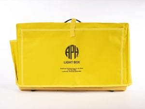
Replacement item for the Light Box (1-08669-00).
$46.45
Catalog Number: 45-052-032
Replacement Item
Federal Quota Eligible
product
Quick-Draw Paper Suggested Uses Booklet, Braille

Optional item for Quick-Draw™ Paper: 1-04960-00.
$9.00
Catalog Number: 5-04960-00
Optional Part
Federal Quota Eligible
Made to Order
product